US Air Quality Gradebook
Maps
![]()
|
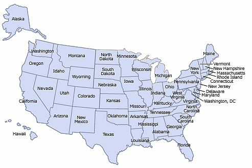
Hyperlinks below access maps of air quality for each state. The maps grade air quality in counties from A to F, with A being the best/cleanest in the US, and F being the worst/dirtiest. For grading details, see the emission gradesheets and ambient gradesheets. Because air masses flow readily across county lines, the maps restrict grade changes across county boundaries to one level, as C to D, and not C to F. Therefore, a county’s neighbors may lower its grade from what appears on the |
gradesheets. The maps consider a county in the context of its neighboring counties, whereas the gradesheets consider counties individually.1 Bordering counties may be in adjacent states.2 Click a state on the map or list to bring up its air quality map. The first map in the list is an overview of the entire United States. After viewing a map, click the browser’s back button/arrow to return to this index page.3 |
|
|

|
|
|
|
|
1 Gradesheet D’s and F’s remain. Grades A, B, and C go to D if bordering counties are F. Then, A and B go to C if bordering counties are D. Then, grades A go to B if bordering counties are C. 2
The maps assume bordering areas in Mexico and Canada do not modify levels in
neighboring US counties. |
3 For clear maps of county boundaries and names, see https://www.census.gov/quickfacts/. Click on “MAP,” click on a state in the map of the U.S., select “Counties,” and move the cursor over counties to see county names and populations. For a guide on using Census.gov, see http://backgroundchecks.org/us-census-guide-how-to-get-the-most-out-of-census-gov.html. |
Return to Air Quality Homepage
![]()
![]()
![]()
![]()
![]()
![]()
![]()