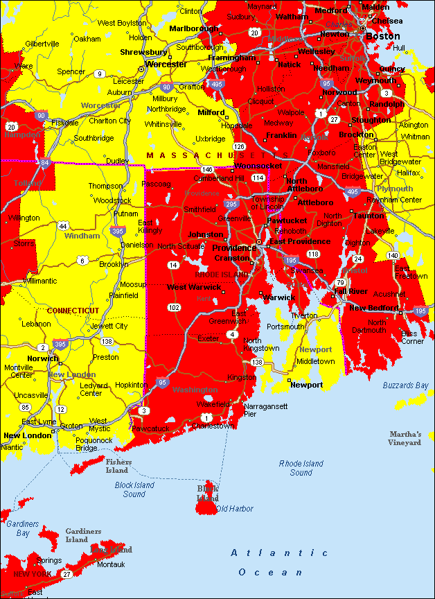
Rhode Island Air Quality
|
|
A |
|
B |
|
C |
|
D |
|
F |
A = Best/Cleanest in the US; F = Worst/Dirtiest in the US.
|
Rhode Island Air Quality |
||||||||||
|
|
||||||||||
|
||||||||||
|
A = Best/Cleanest in the US; F = Worst/Dirtiest in the US. |